
JSAR assisted Jefferson County Sheriff’s Office with a search Monday and Tuesday that ended up being one of the more expanding searches we’ve done recently.
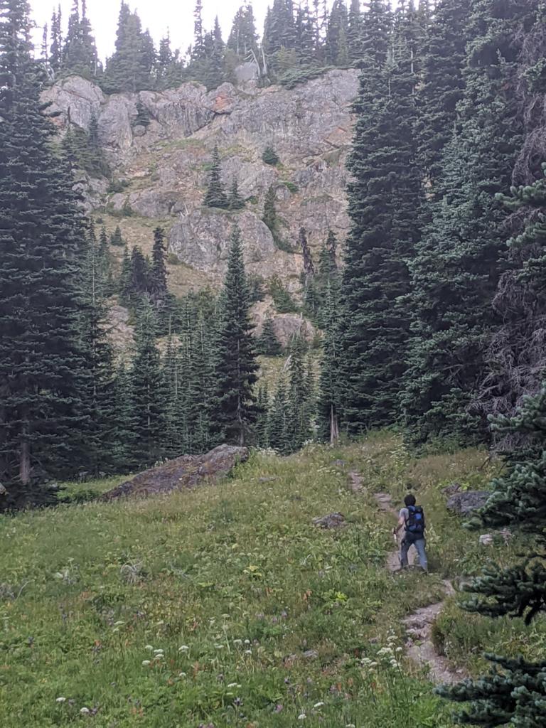
Initially requested to respond Monday afternoon to the Upper Big Quilcene Trail to assist a hiker reporting heat exhaustion and a lack of water, JSAR ground teams searched the trail and could not locate the subject between the trailhead and Marmot Pass, including camps and water sources along the trail. With updated information provided by the subject through his inReach satellite communicator, teams eventually converged on the subject when he reached the trail. He reported having been traveling cross country, getting off road, resting for a period, then a rough descent to reach the trail well after dark.
The subject also reported having been traveling with two other hikers. When he needed to rest, they continued toward the trail. He assumed they had reached the trailhead before him, but they had not. These two subjects also had an inReach device but had not activated its SOS feature nor otherwise indicated that they were in distress — though it turns out they were.
JCSO obtained initial coordinates for the second inReach while one JSAR team hiked with the first hiker to the trailhead. The coordinates were several hours old. Based on the low confidence in the location, unknown need for help and the steep climb off trail to the coordinates, the decision was made to meet at the trailhead in the morning to attempt a hasty search of that area. An inReach message was sent to the second device to ask that party’s condition and needs and to advise them that their hiking partner had been located.
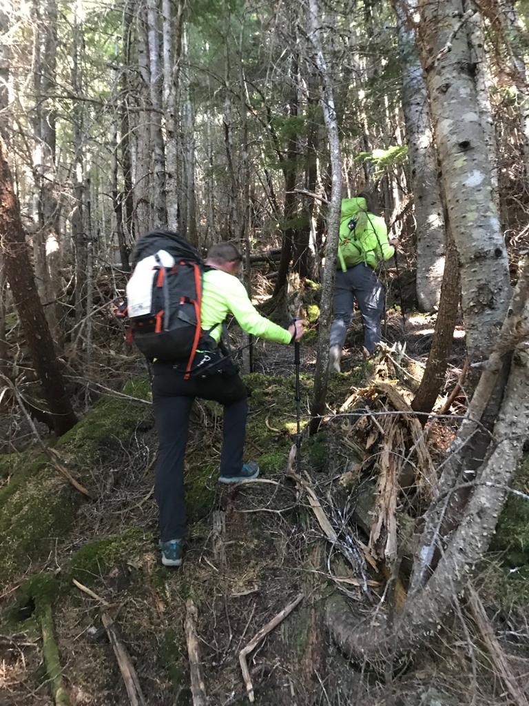
While JCSO and the JSAR hasty team was arriving at the trailhead on Tuesday morning, updated information was received from the second inReach — first an updated set of coordinates, then an SOS activation. With increased confidence and frequent updates from inReach on the location of the activated device, the first JSAR team hiked up the trail then off trail to the vicinity of the coordinates, reaching the area around three hours after the SOS.
Voice contact was established with the two subjects, then the team met the subjects, who were in good health but hungry and thirsty and unsure of how to navigate safely the terrain down to the trail. After some hydration, food and rest in the shade, all hiked down the hill and regained the trail. A second JSAR team met them there with additional hydration.
Hydrated and extremely happy to be back on a trail, everyone hiked out, and the hiking party that had been separated the day before was reunited at the trailhead.
The subjects of this search did well to carry, become familiar with and ultimately use their satellite communicators to activate a rescue. While one should never activate an SOS feature or beacon frivolously or in hopes of getting a helicopter ride home, the feature is there for when you need it to protect your life or limb. Please don’t be afraid to use it when necessary before your situation — and the resulting SAR call — gets even worse.
